Driving in Bogotá
Bogotá’s Ciclovía: what it means if you drive on a Sunday
Bogotá closes major roads to cars on Sundays and holidays, 7 a.m. to 2 p.m., for the Ciclovía. Which corridors it uses and how it affects the airport road.
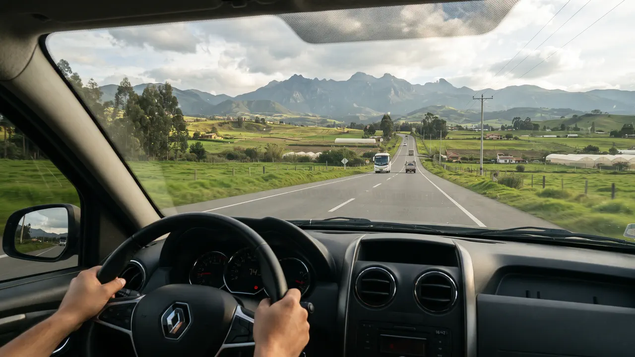
Every Sunday and public holiday, from 7:00 a.m. to 2:00 p.m., Bogotá takes part of its main avenues away from cars for the Ciclovía: more than 140 kilometers of roads —141.46 km according to the IDRD, the city’s sports and recreation institute— that belong to bikes, skaters and walkers during those hours. If you rent a car and plan to drive in that window, it is the most useful thing nobody tells you at the counter.
This guide explains what the Ciclovía is, which corridors it uses, how it affects the road to El Dorado Airport, and how to plan a Sunday with a car without losing the morning to detours.
What is Bogotá’s Ciclovía?
It is a city program run by the District Institute for Recreation and Sport (IDRD) since 1976. During the Ciclovía, the lanes assigned to it are closed to vehicle traffic and handed over to recreation. It runs every Sunday and public holiday of the year, from 7:00 a.m. to 2:00 p.m.
Visitors usually find it a pleasant surprise —it is worth going out to see it, or riding it by bike—, but for drivers it means avenues with fewer lanes, slower crossings and routes that change.
Which roads does the Ciclovía use?
The city publishes the network by corridor. This is the official 2025 list; the layout changes with city roadworks, so check the current map before you go:
| Corridor | Roads | Km |
|---|---|---|
| North 1 | Avenida Boyacá (north) | 10.22 |
| North 2 | Avenida Pepe Sierra, Córdoba and Calle 127 | 9.57 |
| North 3 | Carrera Séptima (north) | 10.07 |
| North 4 | Carrera Novena, Calle 147 and Calle 170 | 11.15 |
| North 5 | Carrera 60 and Calle 72 | 7.06 |
| Center 1 | Avenida Boyacá (south) | 10.74 |
| Center 2 | Carrera 50 | 9.73 |
| Center 3 | Carrera Séptima and Carrera Sexta Sur | 10.77 |
| Center 4 | Calle 26 / Av. El Dorado, eastern stretch | 7.61 |
| Center 5 | Calle 26 / Av. El Dorado, western stretch | 10.38 |
| Center 6 | Parkway and Parque Nacional | 4.46 |
| South 1 | Bosa and Soacha link | 8.64 |
| South 2 | Yomasa, Usme | 9.49 |
| South 3 | Calle 17 Sur and Calle 39 Sur | 7.80 |
Details and the map are on the city’s Ciclovía routes page (in Spanish). The network has grown since then: the IDRD now reports 141.46 km.
Does the Ciclovía affect the road to El Dorado Airport?
It can. Calle 26 / Avenida El Dorado, the road that links the airport with the city center, has two Ciclovía corridors: Center 4, the eastern stretch, and Center 5, the western stretch that heads to the airport. On Calle 26 the Ciclovía does not close the whole avenue: it uses part of the road and cars keep moving on the rest, with less capacity.
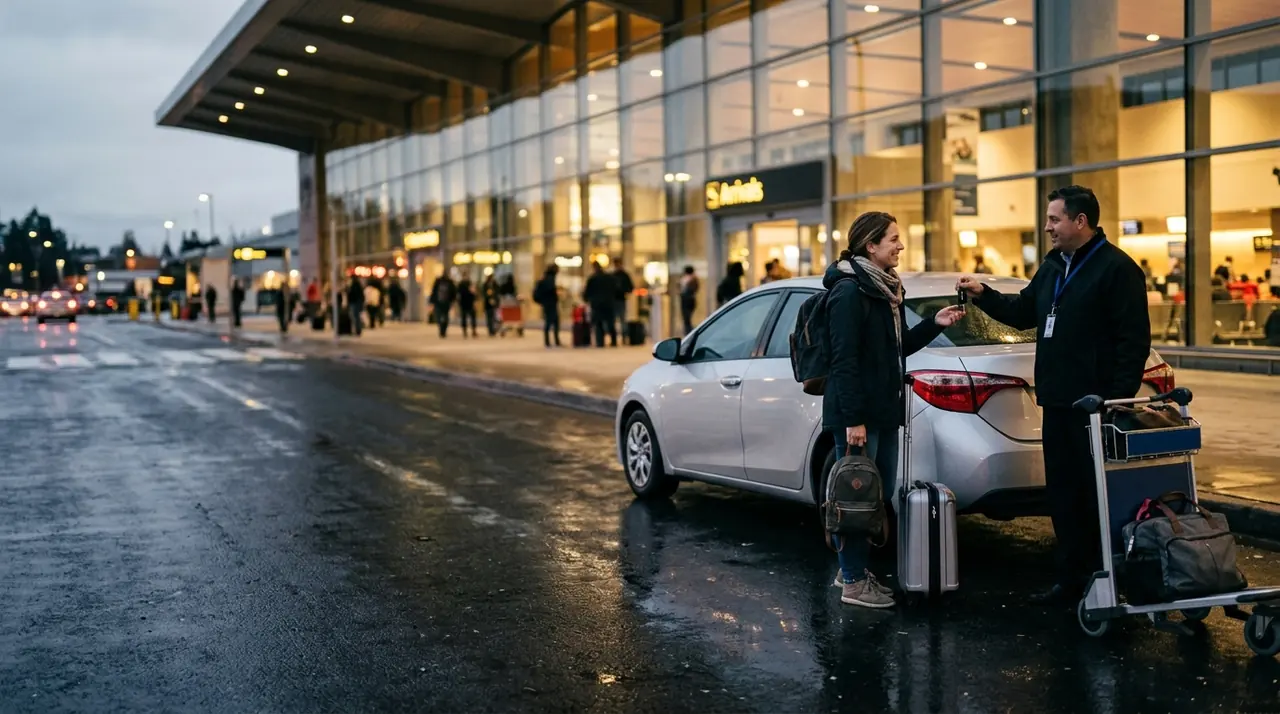
If you land on a Sunday or holiday morning and are heading downtown or north, allow extra time and let your navigation app choose the route. If you are collecting the car at the airport, the handover does not change: it happens at the international terminal like any other day. The full process is in our guide to renting a car at Bogotá airport.
Can I cross the Ciclovía by car?
Yes, at the designated intersections. What you cannot do is drive along the Ciclovía lanes while it is running. When you cross, go slowly, follow the traffic light and give way to people on bikes or on foot: there are children, skaters and dogs, and nobody is expecting a car.
One practical detail: during Ciclovía hours, parking on an avenue that is part of the circuit is usually impossible. If you are going to a restaurant or park near Carrera Séptima or Avenida Boyacá, look for parking on a side street.
How to plan a Sunday with a rental car
- Leave Bogotá before 7:00 a.m. for a day trip. Besides avoiding the Ciclovía, you reach places like the Salt Cathedral of Zipaquirá or Villa de Leyva ahead of the crowds.
- Or drive after 2:00 p.m., when the avenues reopen.
- Check the route in your app before you set off and do not override it on a hunch: an improvised detour can lead you into a closed corridor.
- Pico y placa does not apply on Sundays or holidays for private cars; still, confirm on the Mobility Department’s page if your trip falls on a special date.
- Mention the Ciclovía when you book if your pick-up or return falls on a Sunday morning: we take it into account when agreeing the place and time.
The Colombian data SIM included with every rental keeps your navigation app working from the moment you land.
Not sure which car fits your trip? Every car in our fleet has its own page with transmission, seats and equipment, and our guide to renting a car in Colombia as a foreigner covers documents and deposit.
The figures in this guide were verified against official sources on the update date. Tolls and rates are adjusted every year.
Frequently asked questions
- What time is the Ciclovía in Bogotá?
- Every Sunday and public holiday, from 7:00 a.m. to 2:00 p.m. During those hours the Ciclovía lanes are closed to car traffic.
- How long is Bogotá’s Ciclovía?
- The IDRD reports 141.46 kilometers. It runs along roads such as Carrera Séptima, Avenida Boyacá, Carrera 50 and Calle 26 or Avenida El Dorado.
- Does the Ciclovía close the road to Bogotá airport?
- Not completely. Calle 26 or Avenida El Dorado has two Ciclovía corridors, but cars keep moving on the part of the road that stays open, with less capacity. If you travel on a Sunday morning, allow extra time.
- Can I drive through the Ciclovía?
- You can cross it at designated intersections, slowly and giving way, but you cannot drive along its lanes while it is running.
- Is there pico y placa on Sundays in Bogotá?
- Not for private cars: pico y placa does not apply on Sundays or public holidays. Bogotá’s Mobility Department publishes the current rules on its website.
- What is the best time to leave Bogotá by car on a Sunday?
- Before 7:00 a.m., when the Ciclovía starts, or after 2:00 p.m., when it ends. Leaving early also gets you to places like Zipaquirá or Villa de Leyva ahead of most visitors.